
- Aasiya Niaz
- 3 Hours ago
Mild earthquake felt in Loralai and nearby areas, no damage reported
-

- Web Desk
- Nov 29, 2025
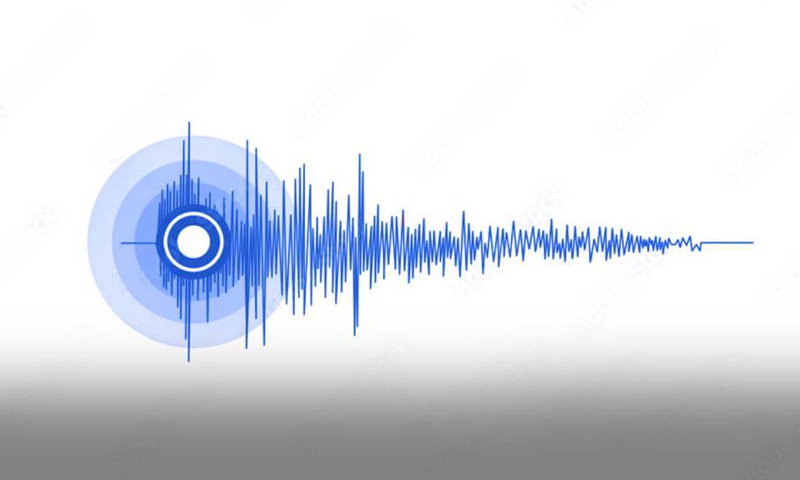
A mild earthquake jolted Loralai and nearby towns in the early hours of Saturday, sending people out of their homes and into open spaces before daylight fully broke. The tremors were small, but strong enough to make doors rattle, room lights swing and hearts skip a beat across several neighbourhoods.
Pakistan’s National Seismic Monitoring Centre (NSMC) confirmed the quake measured 3.4 on the Richter scale, with its epicentre located roughly 23 kilometres south-east of Loralai. The shock was shallow and brief, lasting only a few seconds, and authorities reported no injuries, deaths or structural damage in the hours that followed.
For many residents, the instinct to step outside came fast. Shopkeepers who reached their stores before sunrise said window panes quivered, while families in several suburbs described grabbing children and moving outdoors as soon as the ground stirred. ‘It was quick. No loud shaking, just a reminder that this area sits on fault lines,’ said a local schoolteacher, moments after checking on neighbours.
The weekend jolt comes days after a similar but smaller quake shook Sibi on Tuesday, registering 3.1 and centred about 60 kilometres north-east of the district. Though that incident also passed harmlessly, seismic experts said the cluster of low-magnitude rumbles is being tracked ‘as a precaution, not a warning’.
According to Geo, Balochistan has felt several jolts so far this month. Earlier in November, a stronger quake of 5.0 hit Ziarat, approximately 67 kilometres north-east of Quetta, again leaving no casualties but reviving memories of the 2008 Ziarat earthquake that killed more than 200 people, flattened villages and displaced over 15,000 residents. Disaster experts often point out that when shaking hits hard here, the province’s wide distances, limited road links and scattered population can make emergency response challenging.
The NSMC operates under the Pakistan Meteorological Department (PMD) and sits at the centre of the country’s seismic tracking network. Geologists say Balochistan lies on a tectonic collision zone where the Indian plate presses into the Eurasian plate, a natural push and pull that quietly releases energy in frequent, low-intensity pulses, while occasionally building up to larger shocks.
You May Also Like


