
- Aasiya Niaz
- 6 Hours ago
Temperature to drop after rain, snow in upper Pakistan
-

- Web Desk
- Nov 03, 2025
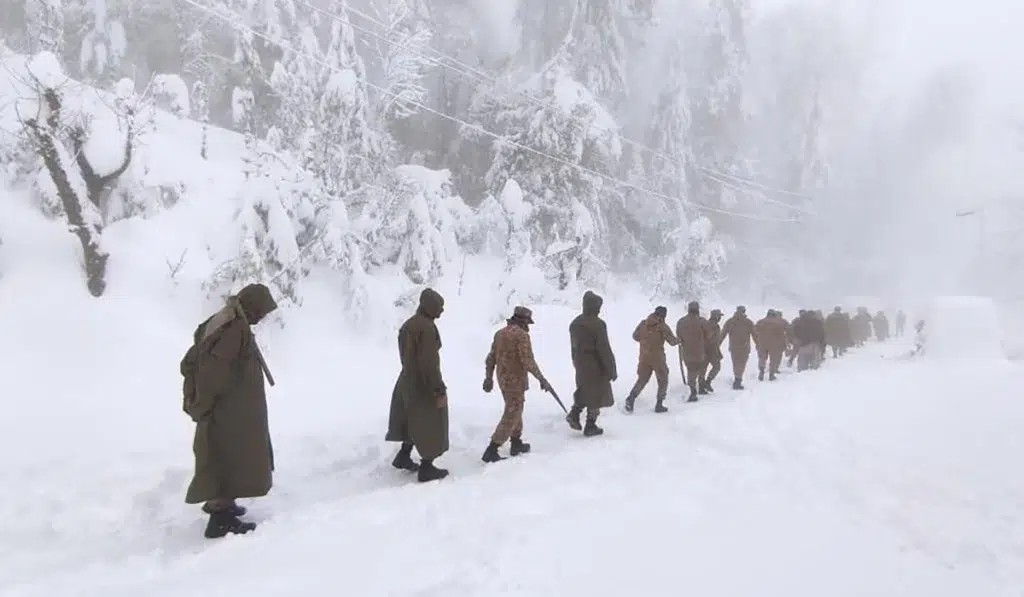
ISLAMABAD: A westerly wave is likely to approach upper parts of Pakistan on Monday night [Nov 3] and may persist till Wednesday [Nov 5], the National Disaster Management Authority (NDMA) said, as the weather system is expected to produce rain, thunderstorms, hailstorms and snow.
On the other hand, the westerly wave — also known as western disturbance will also cause a significant drop in temperature in coming days.
The last weather system from the west had hit Pakistan in the first week of October, ending the climate change-induced long and harsh summer.
Read more: Heavy rains in store after longer-than-usual summer
It is upper Khyber Pakhtunkhwa, Gilgit-Baltistan and Azad Kashmir which will mostly feel the impact of the westerly — the first in this season after an extremely dry winter in 2024-25.
However, the westerly is also going to affect Islamabad and upper and northeastern Punjab, a blessing at a time when the region is engulfed by smog with negative effects on daily life and health.
According to the NDMA, upper Khyber Pakhtunkhwa, Gilgit-Baltistan and Azad Kashmir will receive rainfall with windstorm, thunderstorm and isolated hailstorm as well as snow over the mountains on Tuesday and Wednesday.
That’s why the NDMA has advised the tourists traveling to northern areas to check weather and road
conditions in advance and avoid movement during heavy snowfall or road closures.
As far as Islamabad and upper/northeastern Punjab are concerned, the westerly will produce rain, windstorm, thunderstorm and isolated hailstorm on Tuesday.
When it comes to the likely impacts of this westerly which is mainly affecting Central Asia with lower tail affecting Pakistan, the authorities have warned that heavy to very heavy rain may generate flash floods and urban flooding.
At the same time, lightning strikes and landslides are also possible.
You May Also Like


